By combining FAA-certified operators, registered and compliant equipment, and survey-grade RTK accuracy, we provide drone data solutions that help clients save time, reduce costs, and make better decisions in the field and on the jobsite.
-
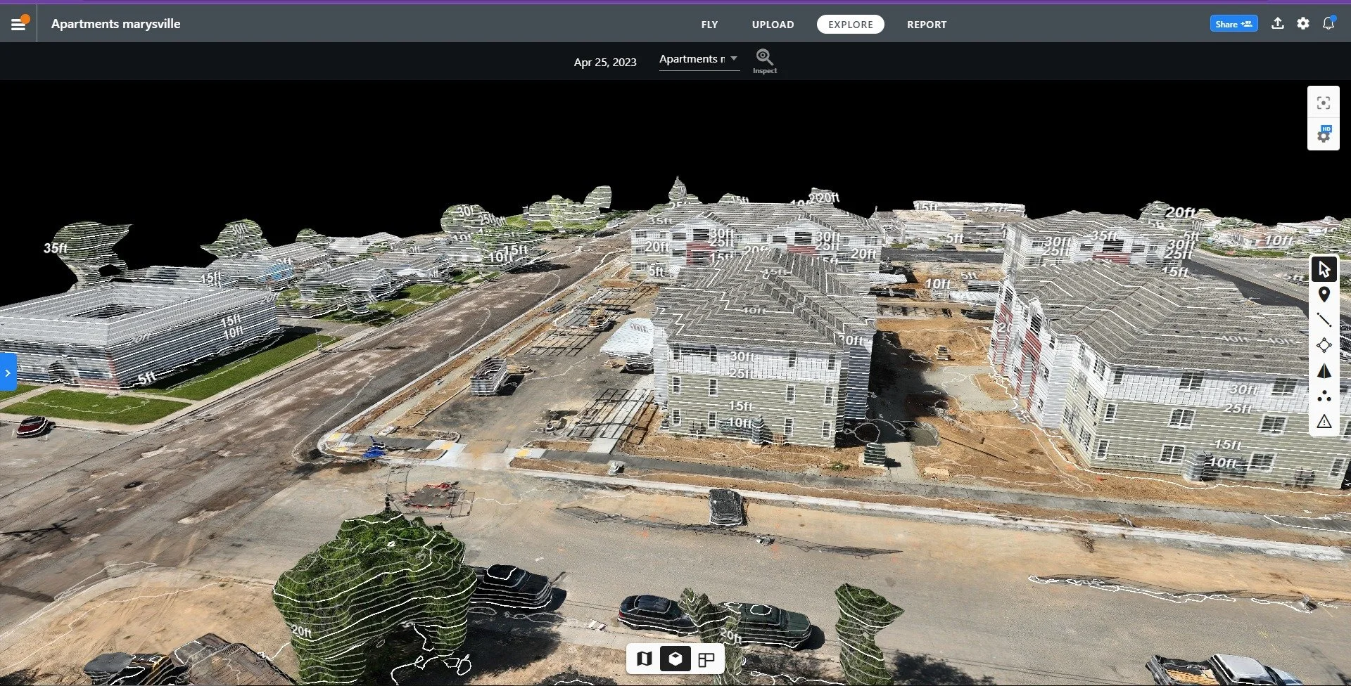
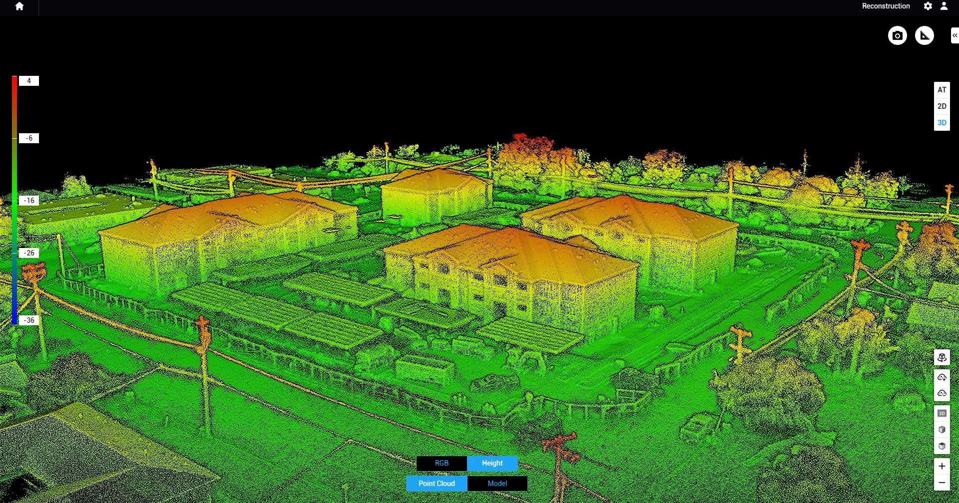
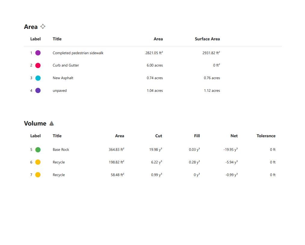
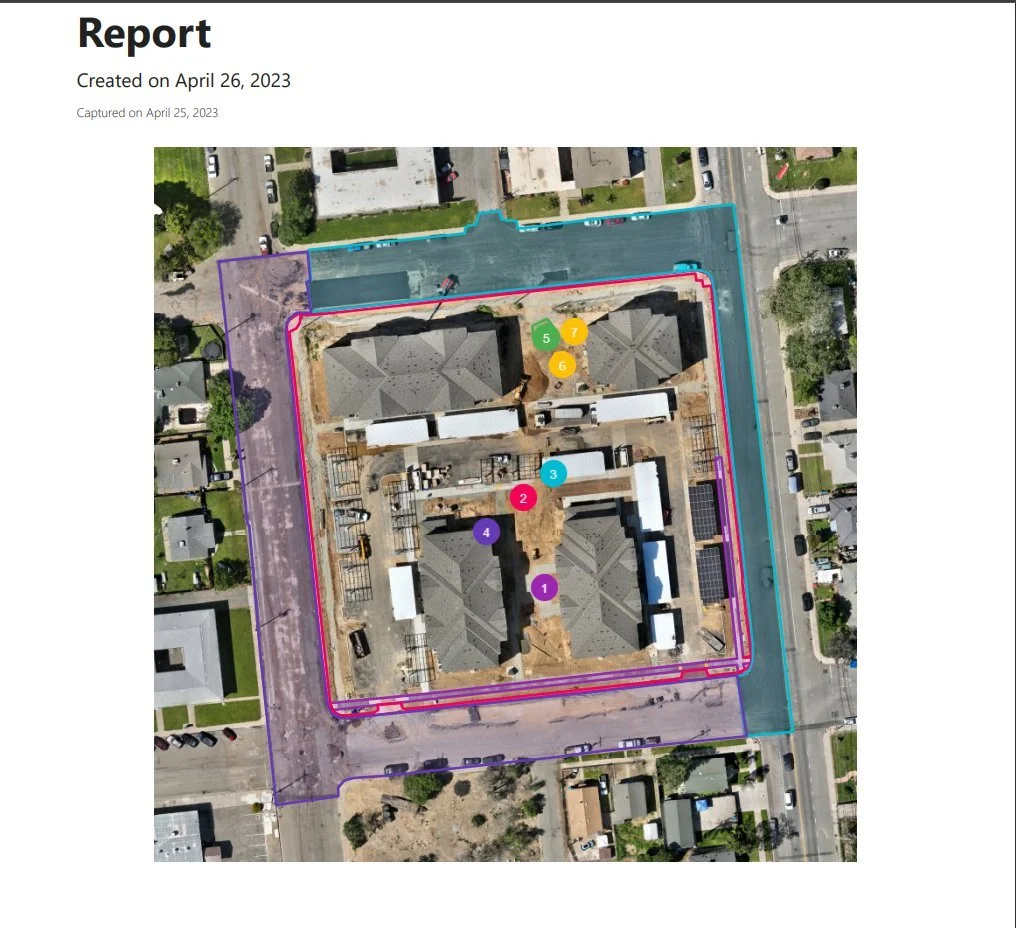
Construction Applications
Aerial Photogrammetry – Precision aerial imagery stitched into survey-grade models.
High-Resolution 2D Photomosaic Maps – Orthorectified imagery with centimeter-level accuracy for planning and measurement.
3D Point Cloud Modeling – Detailed digital reconstructions for terrain mapping, design planning, and digital twin creation.
Survey-Grade Stockpile & Earthwork Reports – RTK-enabled volumetric analysis of aggregates, soil, and other materials.
Jobsite Photo & Video Progress Reports – High-quality visuals documenting project milestones for stakeholders, compliance, and legal use.
-
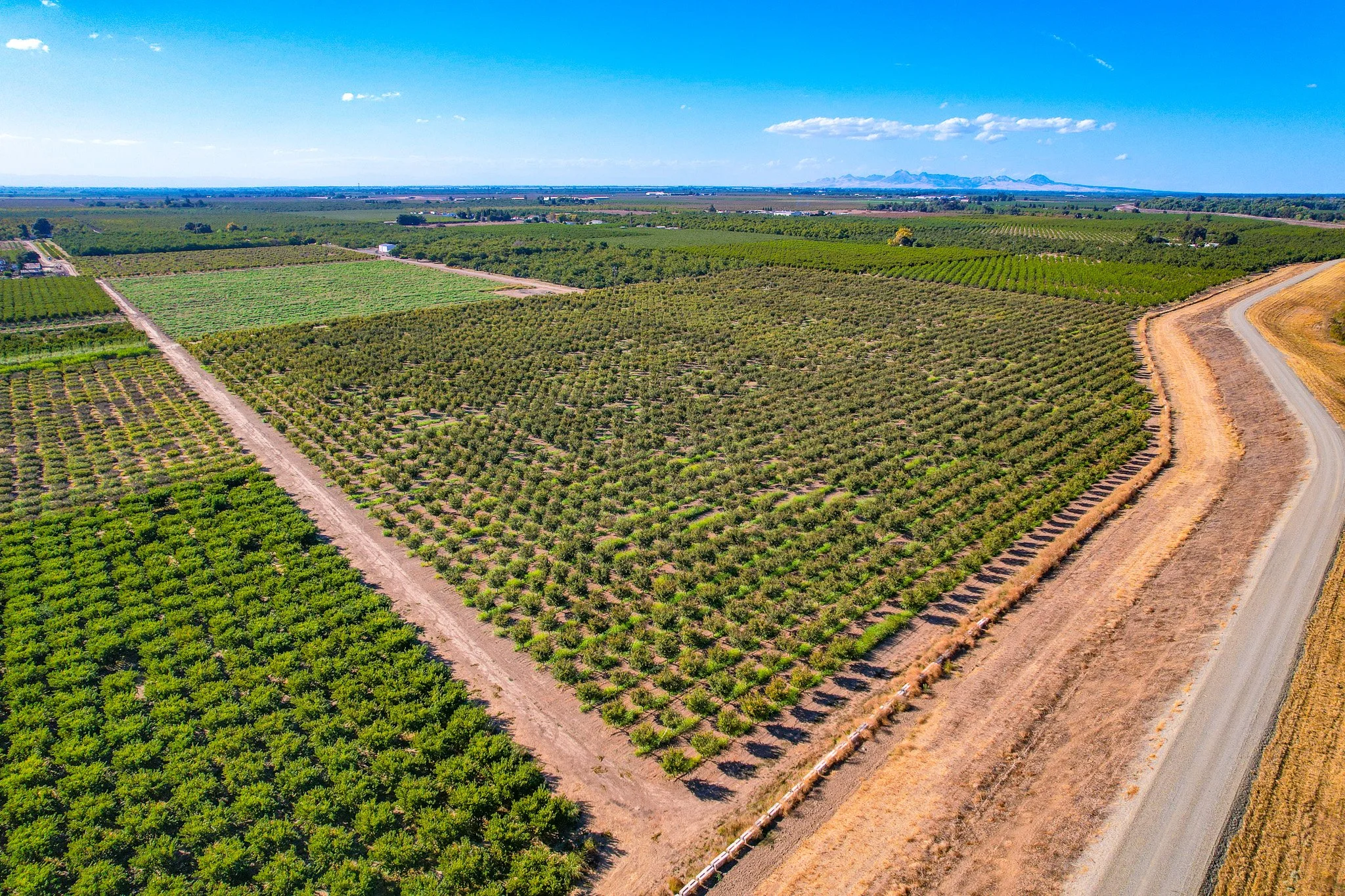
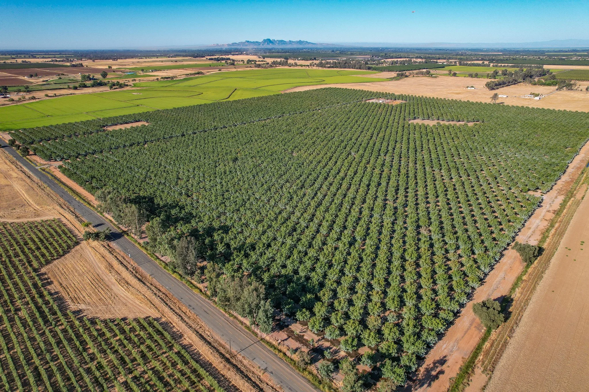
Agricultural Applications
Ground Leveling & Field Topography Data – RTK precision mapping to optimize irrigation, drainage, and laser leveling.
Crop Health Monitoring – High-resolution and multispectral imagery to detect stress, disease, and nutrient deficiencies early.
Plant Population & Stand Counts – Early-season evaluations of emergence and uniformity.
Yield Estimates & Crop Scouting – Data-driven insights to guide input decisions and harvest planning.
Irrigation & Water Efficiency Analysis – Identification of over- or under-irrigated zones with centimeter-level elevation data.