Drone data
See the field from above.
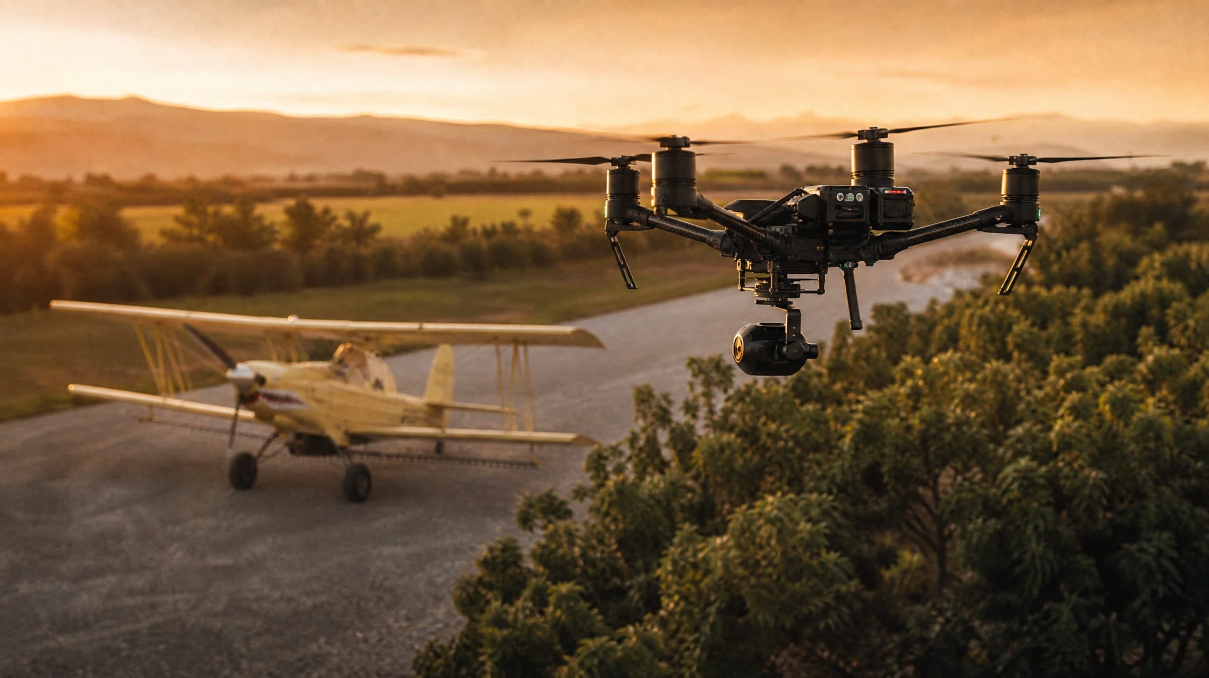
FAA-certified drone operators with survey-grade RTK accuracy. We map farm ground and construction sites so you can save time, cut costs and make better decisions in the field and on the jobsite.
Agriculture
- Ground leveling and field topography mapping
- Multispectral crop health and stress detection
- Plant population counts and yield estimates
- Irrigation efficiency analysis from elevation data
Construction
- High-resolution 2D orthomosaic maps
- 3D point clouds for terrain and design
- RTK volumetric analysis of stockpiles and earthwork
- Progress photos and video of the jobsite
Drone data questions
We fly RTK-enabled equipment for survey-grade positioning. Tell us the accuracy your project needs and we will confirm the method.
Yes. Our operators are FAA-certified and our equipment is registered and compliant.
Depending on the job: orthorectified imagery, 3D models, volume reports, crop health maps, and photos or video for records and stakeholders.
Plan a drone survey.
Call (530) 695-2294 or send the site details through the request form.